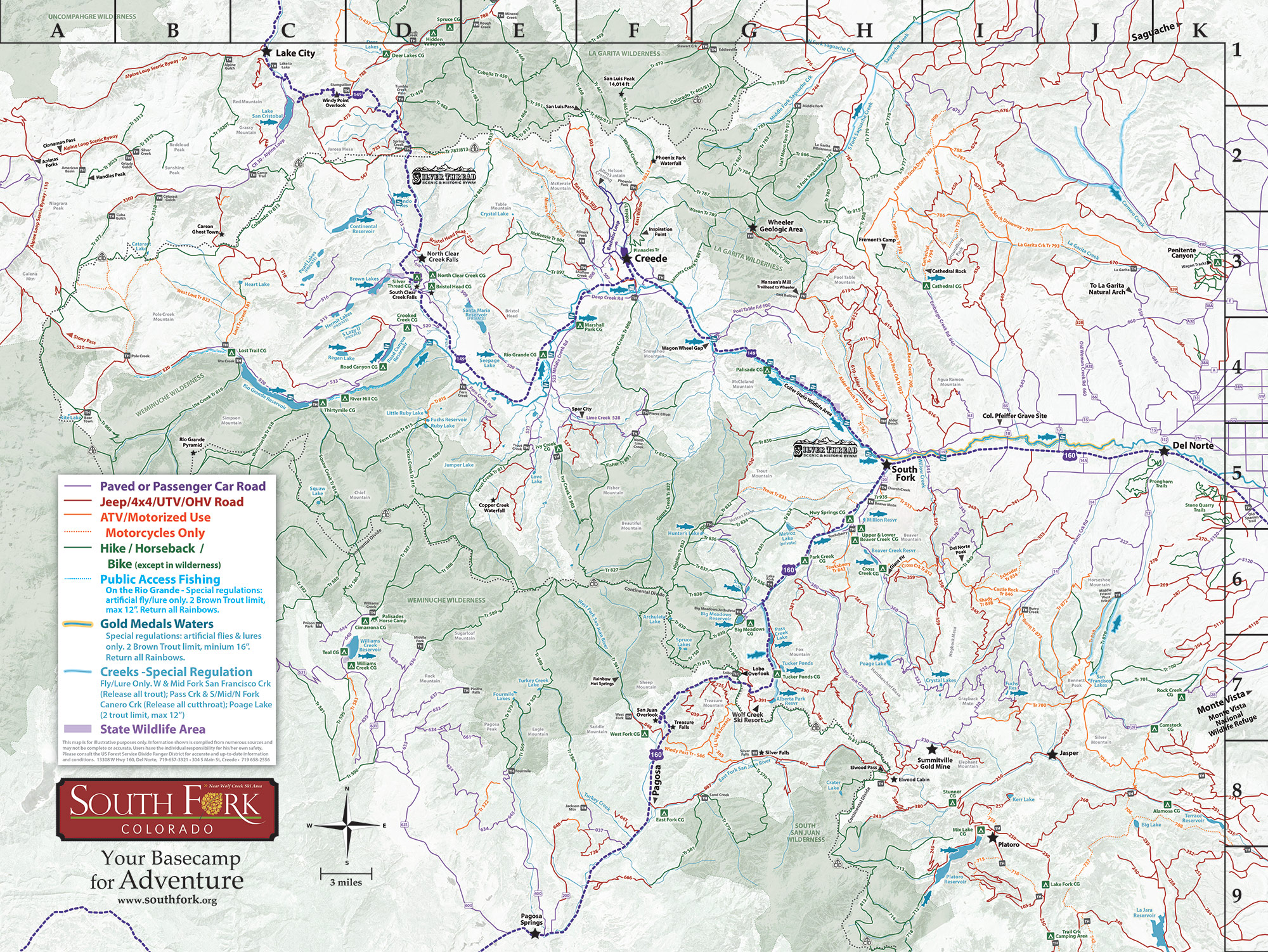
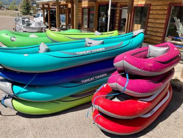
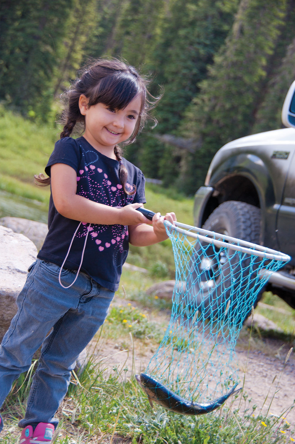
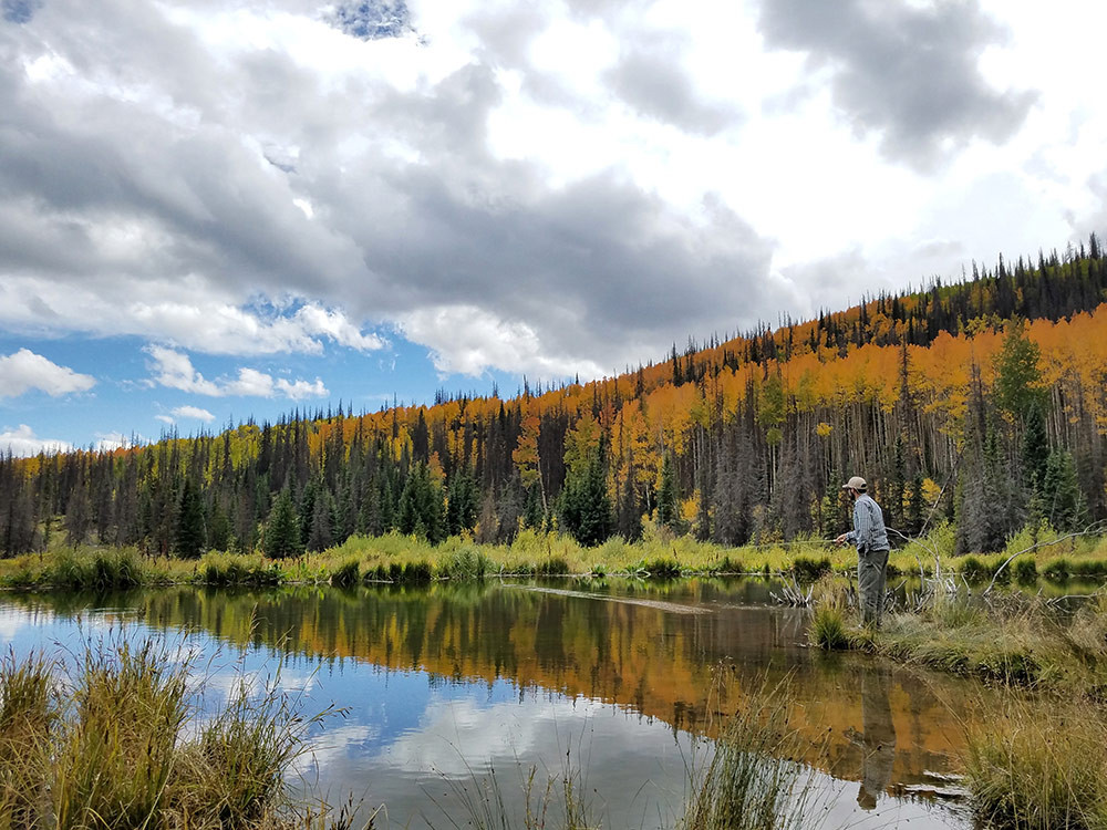
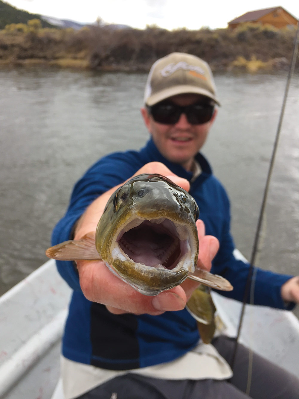
The Upper Rio Grande area offers some of the best fishing in Colorado. Gold Medal waters on the river and an abundance of creeks, lakes, and reservoirs provide year-round opportunities for the avid fisherman! Online and in-person, check with knowledgeable outdoor shops, license vendors, fishing lodges, guides and outfitters.
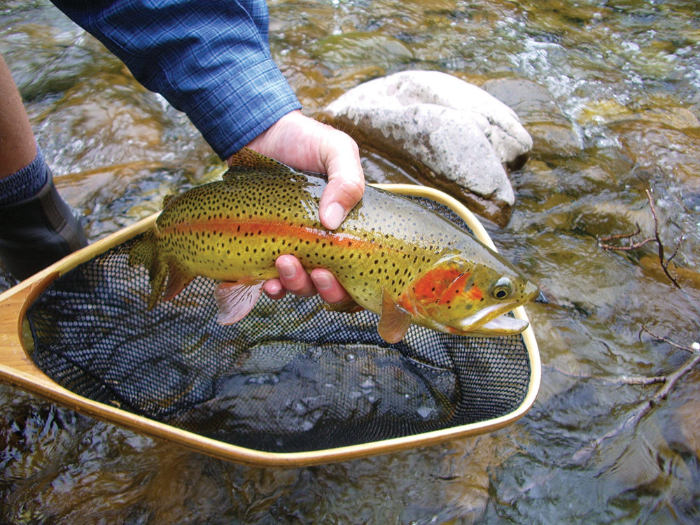
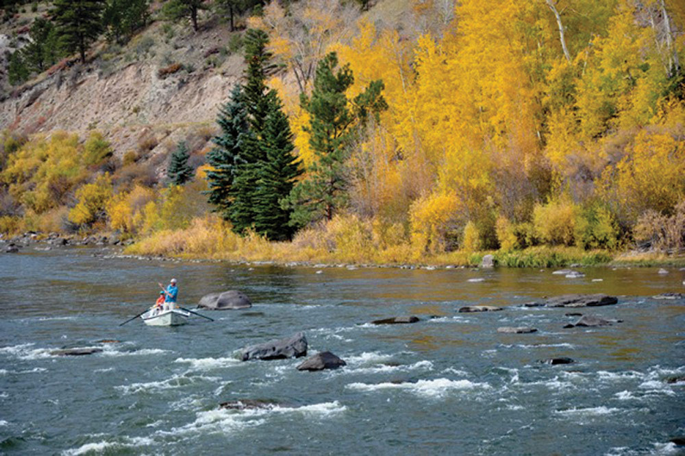
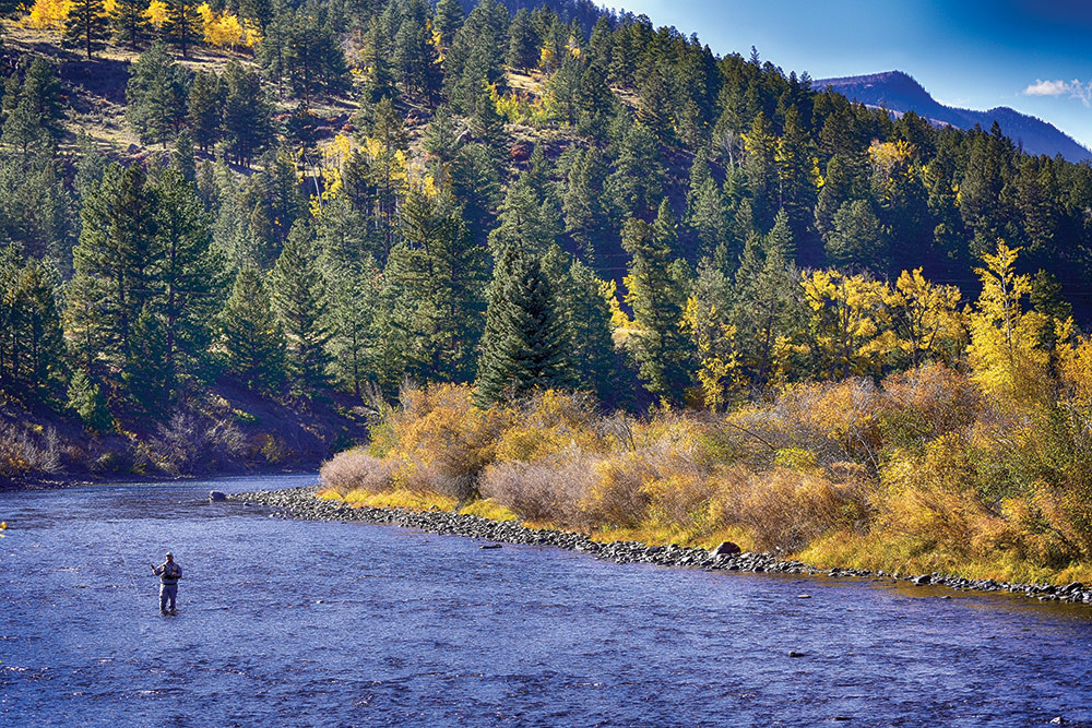
Rio Grande River's Gold Medal Waters - South Fork boasts the longest stretch of Gold Medal Waters in the entire state. Nearly 20 miles of the Rio Grande receive this designation from the Colorado Division of Wildlife. These designations are given out sparingly and represent the highest quality aquatic habitat in Colorado - your best chance to catch a trophy trout! There are several public access points; please observe all posted private property markers. When fishing any Gold Medal waters, check possession limits for the area are and the type of fish allowed. This information is in the annual Fishing Brochure; download from this page.
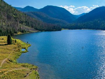
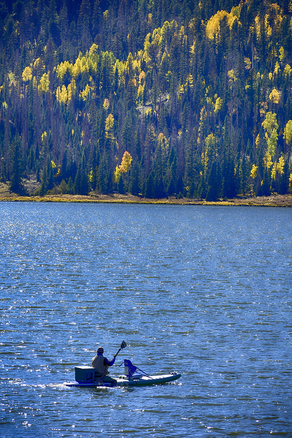
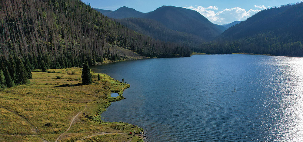
Lakes & Reservoirs - There are over 80 in the area, 13 of which are 20 minutes from town. From high mountain lakes that require a lengthy hike, to nearby reservoirs accessible by any car and outfitted with boat ramps and handicap amenities, you are sure to find water suitable for your style.
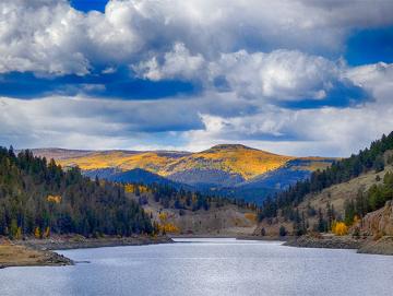
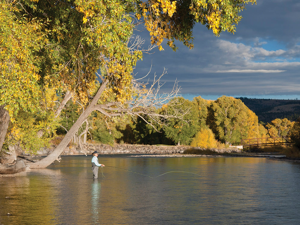
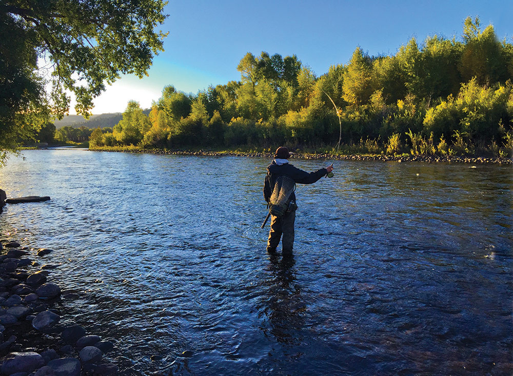
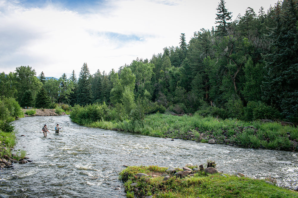
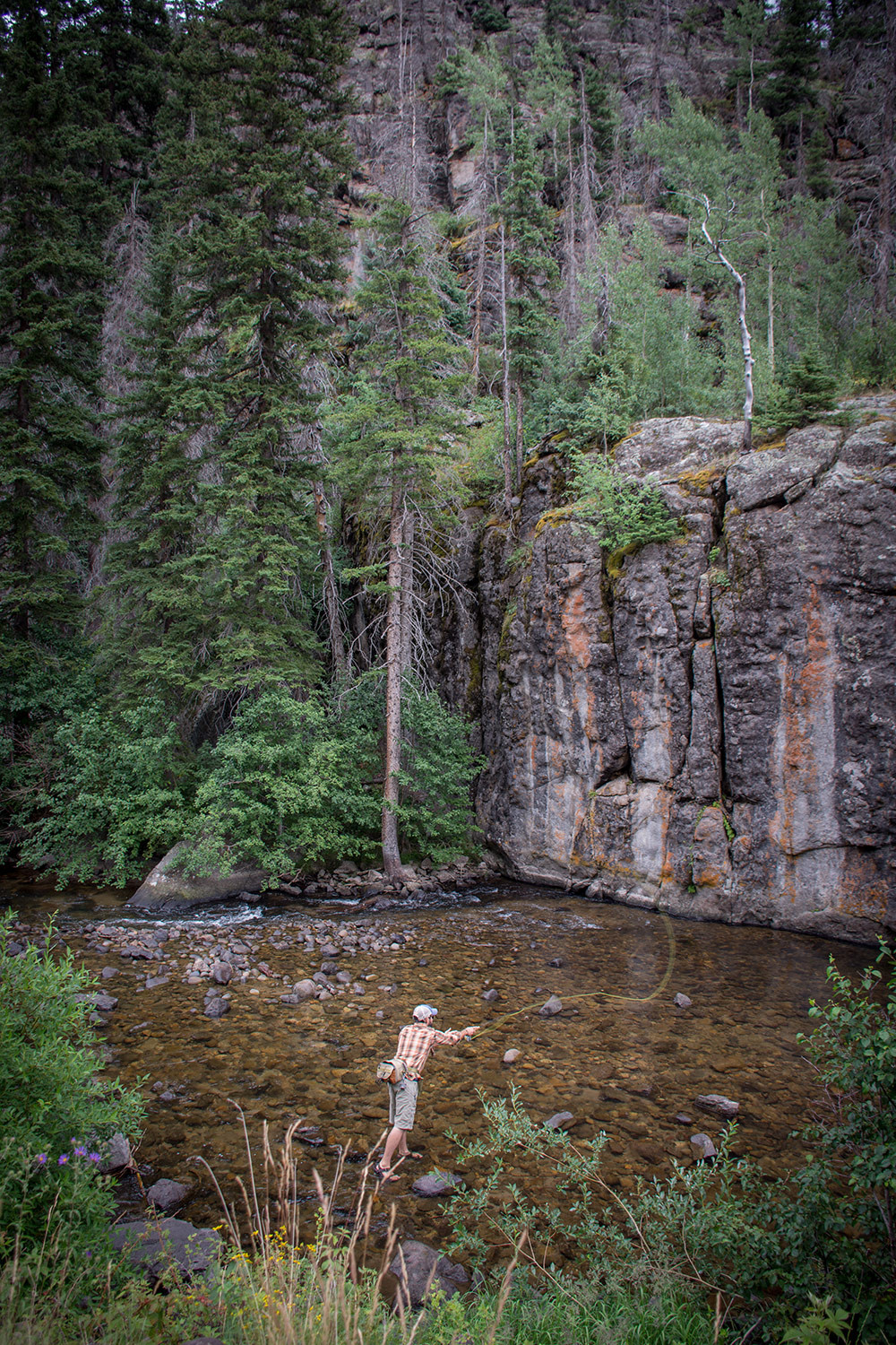
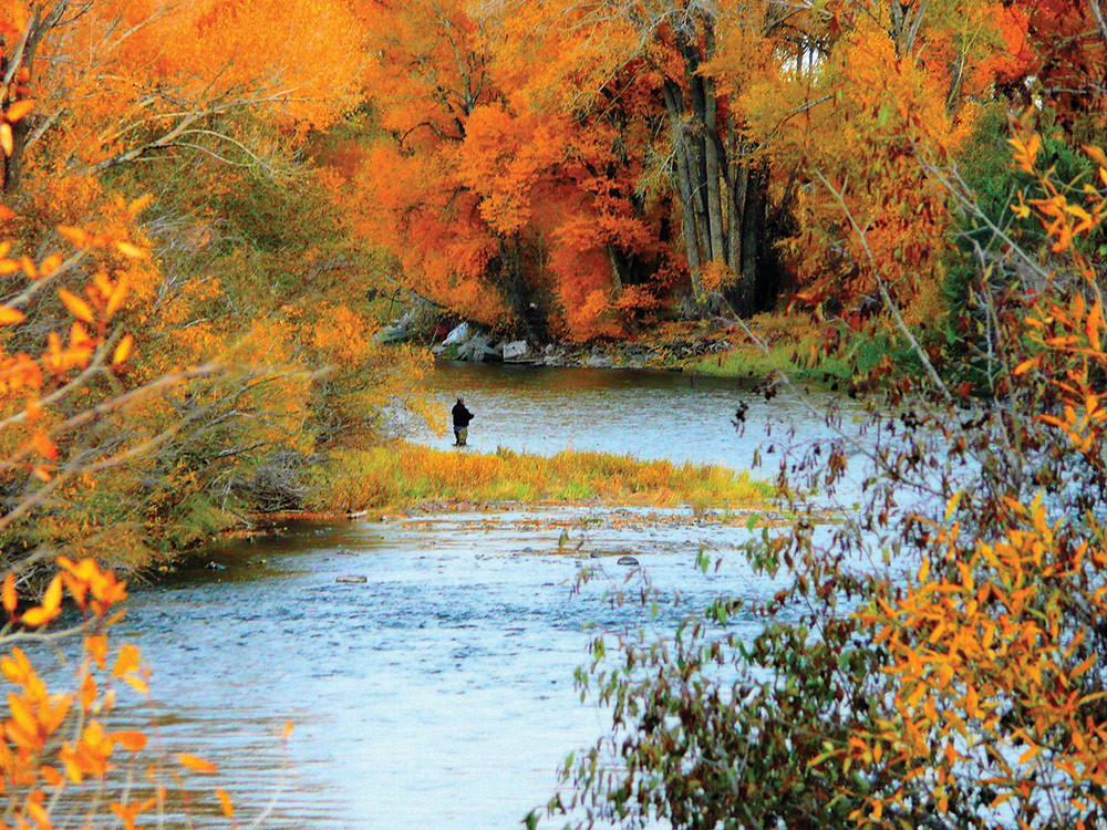
Stream & Creek Fishing - The Rio Grande and its tributaries offer slow running waters, excellent for fly fishing as well as with lures. Many of the river’s smaller tributaries offer stream sized fish, and are abundant with aquatic life like cutthroat and rainbow trout. The most popular streams include: Embargo, Beaver, and Rock creeks. The South Fork of the Rio Grande offers good stream and bank fishing, wading, bait, cast and fly fishing for browns, rainbows, and brooks. It is accessible by car with some walk-in areas.
Ice Fishing - Several lakes in the area are great for winter ice fishing. Learn More
South Fork's Salmonfly Hatch - South fork and the Upper Rio Grande river are not only known for their fifteen miles of Gold Medal Water, but also for the Salmonfly Hatch associated with it. Usually starting in mid-June, you can follow the hatch all the way up the river to the headwaters ending sometime in July when the terrestrials take over.
Know Before You Go
- Everyone over 16 must buy a fishing license
- Check fishing reports and local shops for best water. Particularly during springtime, the runoff can change the creeks and river on a daily basis
- Check for restrictions and bag limits for each location. This info is in the annual Fishing Brochure; download here
- Private property is a big deal here. Always observe posted markers, and understand which parts of the river are private
- Help preserve our Gold Medal Waters by keeping our fish healthy! NEVER fish the Rio Grande during the heat of the day in the later parts of summer - the water is warm and low, and the fish get easily stressed
Learn More: www.fishtheupperrio.com
Colorado Fishing Atlas Fishing: Colorado Parks & Wildlife Buy a Fishing License
Our Favorite Fishing Spots
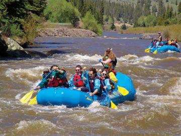
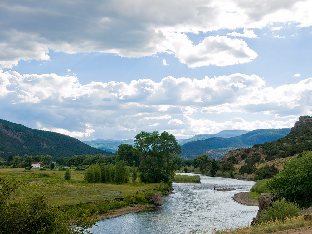
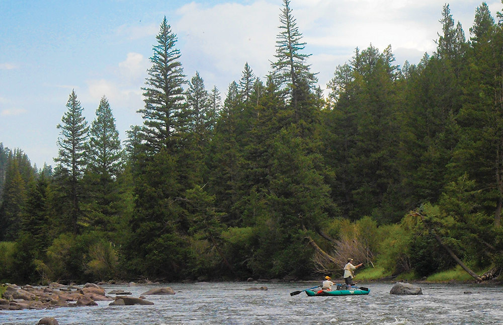
Float Fishing the Rio Grande - Miles of beautiful scenery and Gold Medal Waters
Million Reservoir
On the Map: H5 Location: FS 360.1B - Bait: All - Elevation 8,700 ft.
The 4 acres of water, offers a variety of Rainbow Trout, which are best caught on either bait, lures, or flies. The reservoir is located on the Beaver Creek Reservoir road, on the edge of South Fork and is then only about 5 miles, through some of the best site seeing forest the Rio Grande has to offer.
Big Meadows Reservoir
On the Map: G6 Location: FS 410 - Bait: All - Elevation 9,200 ft.
114 acres of water, with easy access for kids, and seniors, and is HANDICAPP-accessible. Big Meadows offers a variety of fish including rainbow and brook trout, salmon and German browns. They are all caught equally well with bait, lures, and flies. It is farther from town than the other reservoirs, at a distance of 18 miles, but the drive is well worth the fish found in its waters.
South Fork of Rio Grande
On the map: G,H 6 Location: Hwy. 160 - Bait: All
Several pullouts along this 11-mile stretch of river provide for a variety of habitats and fish. Mostly Brookies and Browns, but Rainbows and Cutthroat as well.
Shaw Lake
On the Map: G6 Location: FS 430 - Bait: All - Elevation 9,850 ft.
20 acres of water. This lake offers good trolling for cutthroats and brookies. All caught equally well on any type of lure. Facilities include a boat ramp, rest rooms, and is handicap accessible.
Beaver Creek Reservoir
On the Map: H6 Location: FS 360 - Bait: All - Elevation 8,850 ft.
114 acres of water offers easy access for kids, seniors, and is handicap accessible. Like Big Meadows there are various types of trout, browns, and salmon, found in its waters. Caught on any type of rig that you may want to use whether bait, lure or flies. This is one of the closest lakes to town, with exceptional fishing, with a drive time of only 15-20 minutes. The lake itself is approximately 8 miles outside of town, with a spectacular drive that warrants a slower drive time. This lake also offers exceptional winter ice fishing.
Hunters Lake
On the Map: F6 Location: FS 430 - Bait: All - Elevation 11,400 ft
8 acres of water. The fish can be slow to bite, but are available for the patient angler. However, fly fishing is good for rainbows. This lake requires a 1/2 mile hike from your car.
Tucker Ponds
On the Map: G7 Location: FS 390 - Bait: All - Elevation 9,700 ft.
With 4 acres of water. This is a great spot for amateur fishing, with good bait, and fly fishing for rainbows. This area is accessible by car and offers camping facilities, and picnic area. Facilities include two docks and toilet facilities, and is handicap accessible.
Pass Creek Lake
On the Map: G7 - Location: Hwy 160/FS 390 - Bait: All
This lake is also good for bait and fly fishing for rainbows. There limited parking just off Hwy 160, with no other facilities but is winter accessible.
Pass Creek
On the map: G7 - Location: Hwy 160/FS 390 - Bait: Artificial fly/lure
From Alberta Park reservoir at 10,180 ft. to its confluence with the South Fork of the Rio at 8,900 ft., this stream will surely test your stamina and skills at nabbing a native Cutthroat.
Crystal Lakes
On the Map: I7 - Location: FS 332 - Bait: All - Elevation 11,300 ft. approx.
9 acres of water in both the upper and lower lakes. Fishing is good for brookies, cutthroats, and rainbows at both locations.