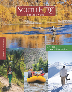
South Fork provides visitors with abundant all-season activities from hunting and fishing to skiing, golf, horseback riding and wildlife viewing. Surrounded by nearly 2 million acres of national forest, limitless historical, cultural and recreational activities await visitors. Breathtaking scenery and family-oriented adventure will captivate and draw you back, year after year.


Come join us for our Summer Socials. There will be games and activities for all ages. With music, karaoke, food, sweet treats, and more, it should be an event to ...


Come join us for our Summer Socials. There will be games and activities for all ages. With music, karaoke, food, sweet treats, and more, it should be an event to ...
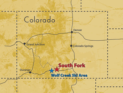
Denver 4½ hrs • Grand Junction 4½ hrs
Colorado Springs 3½ hrs • Pueblo 3hrs
©2024 South Fork Visitor Center. All Rights Reserved. Reproduction of photos, logos or copy is prohibited without the expressed written permission of South Fork Visitor Center & B4 Studio. Built by B4 Studio, LLC • Sitemap • Cookies, Terms & Conditions of Use, and Privacy Policy
South Fork Visitor Center
28 Silverthread Lane
South Fork, Colorado 81154


